|

251 CEFN BRANDDU 
GRID REFERENCE: SN 706463
AREA IN HECTARES: 315.10
Historic Background
A narrow area covering the northern side of the Cothi valley. It
once lay within Cwmwd Caeo of Cantref Mawr which remained an independent
Welsh lordship until 1284 (Rees n.d.) and largely retained native systems
of tenure throughout the Medieval period. It is an area of high moorland
pasture. The western section was enclosed at a late date, during the 19th
century (Cynwyl Gaeo tithe map, 1840) when it was divided into large fields
with straight boundaries. The eastern third is still unenclosed and the
entire area was probably open, common grazing during most of the historic
period. A Post-Medieval cottage site represents the only recorded evidence
of human occupation, and may be a product of squatting. There is now no
settlement.

Base map reproduced from the OS map with the permission
of Ordnance Survey on behalf of The Controller of Her Majesty's Stationery
Office, © Crown Copyright 2001.
All rights reserved. Unauthorised reproduction infringes Crown Copyright
and may lead to prosecution or civil proceedings. Licence Number: GD272221
Description and essential historic landscape components
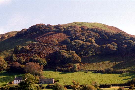
Cefn Branddu is a high rounded ridge which peaks at over 400 m. It has
been enclosed into large fields by earth banks, but these are now redundant
and wire fences provide stock-proof boundaries. Land-use is mixed, but
mostly comprises improved pasture, with rougher grazing and bracken on
steep slopes and on the highest points. There are individual trees and
small stands of semi-natural deciduous woodland on the steep, northwest-facing
slopes. There are no settlements, and the only transport links are rough
tracks and paths.
The only archaeological site recorded in this area is the one cottage site.
There are no buildings.
This is a well-defined area. It is bounded by woodland on steep slopes to the east and south, and by farms and fields to the west. On other sides landscape character areas have yet to be defined.