|

203 ALLT TREGYB 
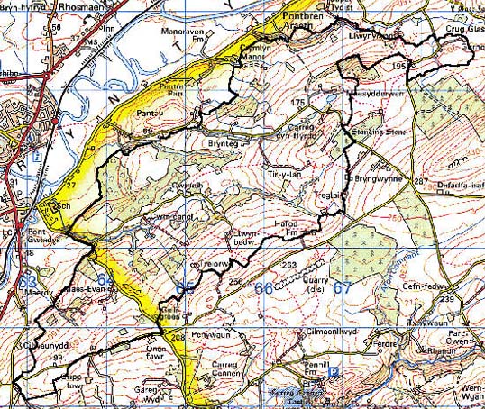
GRID REFERENCE: SN 657214
AREA IN HECTARES: 913.10
Historic Background
A large area occupying the south-east side of the Tywi Valley east of Llandeilo. It lay within Iscennen commote, specifically within Maenor Llys, of which Nant Breinant - which partly forms the northern edge of this area - was a named boundary in the 16th century (Rees 1953). Iscennen, unlike the rest of Cantref Bychan within which it lay, remained nominally independent of Anglo-Norman rule until 1284 when it was acquired by John Giffard. In 1340 it became a member of the Duchy of Lancaster (Rees 1953, xv-xvi). The eastern half of the character area is marked as 'Brenaye Forest' on Rees' map of South Wales in the 14th century (Rees 1932), but the medium-sized irregular enclosures in this area contrast with the larger, regular enclosures to the north, south and further east - some of which are 19th century enclosure of former common - and are probably earlier, though possibly still Post-Medieval. Rees' map also shows a straightish, intermittent unclassified road running WSW-ENE across the spine of the area. The western end of the area belonged to the vill (later estate) of Tregyb (Area 202) and although there is little difference in the landscape here, it is more wooded and features the name Tregyb Warren. The later history of the area is overwhelmingly pastoral although a factory near Tregyb is marked on 19th century maps.
Base map reproduced from the OS map with the permission
of Ordnance Survey on behalf of The Controller of Her Majesty's Stationery
Office, © Crown Copyright 2001.
All rights reserved. Unauthorised reproduction infringes Crown Copyright
and may lead to prosecution or civil proceedings. Licence Number: GD272221
Description and essential historic landscape components
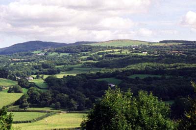
Allt Tregyb character area lies on north-facing undulating and hilly slopes of the Tywi Valley between 30m and 220m. The valley side has a heavily wooded appearance, but this is more apparent than real, for although there are considerable stands of ancient deciduous woodland, and recent more scrubby woods and small conifer plantations, the overall characteristic of the area is one of small irregular fields and widely dispersed farms. Improved pasture is common, but there are many fields of rougher- and rushy-ground, reflecting the pockets of poorer land on the north-facing slopes. Some fields have recently been invaded with scrubby woodland. Fields are usually divided by earth banks topped with hedges, but some stony banks and stone-faced banks lie at higher altitudes. Hedges are in a variety of states of management, but are usually either well-maintained and trimmed or overgrown with distinctive hedgerow trees. Farmhouses and cottages in the vernacular style of 19th century date are the chief types of dwellings. Larger farmsteads are present, but most are relatively small for Carmarthenshire and consist of a limited range of stone-built farm buildings, sometimes compacted into a single range. Some farms have large modern agricultural buildings associated with them. Stone-built, single storey 19th century cottages at Gurnos-Cwmdu suggest squatter settlement-encroachment onto common land that fringed part of this area.
Recorded archaeology is limited to a scheduled standing stone, a Bronze Age findspot and a possible enclosure (undated).
There are no distinctive buildings
This is a fairly well defined area and contrasts with the less wooded, richer land and larger farms of areas that lie to the north, east and west, and with the higher less strongly enclosed land to the south.