Home > Historic Landscape Characterisation > Milford Haven Area > |

DALE TO ST BRIDES COASTAL STRIP 
GRID REFERENCE: SM 789069
AREA IN HECTARES: 207
Historic Background
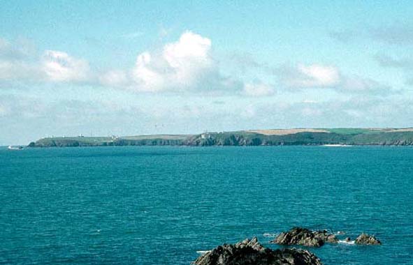
A character area comprising a narrow coastal strip, lying within the parishes
of Dale, Marloes and St Bride’s. Historically, this coastal strip
has always been marginal land, outside the boundaries of cultivated land.
In the past it has been used for rough grazing, but now its main function
is as a corridor for the Pembrokeshire Coast Path set between farmland
and the edges of the sea cliffs. However, this area includes many former
occupation sites. These include Gateholm Island which has a long history
of occupation, the most important stage of which is represented by a complex
of turf-walled huts dateable to the Roman and post-Roman periods, and
an iron age promontory fort at Great Castle Head, which was reused during
the medieval period as the caput of the Manor of Dale, and later as a
World War 1 defence post. There are few places suitable for landing small
boats along this stretch of high sea cliff. The exceptions being Westdale
Bay, Marloes Sands and Martin’s Haven. It is these locations that
served as shipping points for the agricultural hinterland, although at
no location were formal quays or wharves constructed.

Base map reproduced from the OS map with the permission
of Ordnance Survey on behalf of The Controller of Her Majesty's Stationery
Office, © Crown Copyright 2001.
All rights reserved. Unauthorised reproduction infringes Crown Copyright
and may lead to prosecution or civil proceedings. Licence Number: GD272221
Description and essential historic landscape components
This historic landscape character area consists of approximately a 20
km strip of high, hard-rock sea cliff topped by a narrow band of moor,
scrub and rough ground. The Pembrokeshire Coast Path runs along the entire
length of this area. Although it comprises a very narrow strip of land,
sometimes just a few metres wide, this area is very different from the
highly cultivated land that bounds it, and for long sections there is
no connection between the cultivated fields and coastal strip. Essentially
the historic landscape of the coastal strip is characterised by its many
and varied archaeological sites. The most obvious and important of these
are several iron age promontory forts, such as Tower Point, Wooltack Point,
and Great Castle Head which was re-used in the medieval period. Also of
great importance is Gateholm Island with its sites dating from the prehistoric
period through to the post-Roman period. Other upstanding sites include
19th century limekilns, three of which are grade II listed, and 20th century
military coastal defences. There is also a wealth of buried archaeology
including numerous prehistoric flint working floors, the best known of
which is Nab Head, and an early medieval cemetery at St Brides. There
are no inhabited buildings in this area.
This is a distinct and very well defined area. It is bounded by the sea or farmland.
Sources: Crane 1994; Edwards and Lane 1988; Ludlow, in Crane forthcoming;
Murphy and Allen 1997 and 1998