Home > Historic Landscape Characterisation > Upland Ceredigion > |

 BANC LLECHWEDD-DDU
GRID REFERENCE: SN 702850
AREA IN HECTARES: 131.7
Historic Background
This area was part of Strata Florida’s grange of Y Dywarchen. At the Dissolution it became Crown land, eventually passing into the Gogerddan estate. It is presently unenclosed, and in historical times has always been unenclosed moorland. There are no settlements on it.
Description and essential historic landscape components
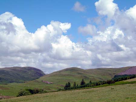
This is a high craggy ridge that achieves a maximum height of 430m and runs down to 200m at its northern flanks. It consists of rough grazing with a few pockets of improved pasture. Modern field clearance cairns are present in recently improved land. Historically it is unenclosed, though wire fences divide the area into very large enclosures. There are no settlements. A series of leats, that once served metal mines, run across the northern flanks of this area (Tucker 1976).
Apart from the leats mentioned above, recorded archaeology in this area comprises a deserted settlement of post-Medieval date.
This is a well-defined area with forestry to the east and south, lower and formerly enclosed land to the west, and the valley of Llawer-y-cwm-bach to the north.
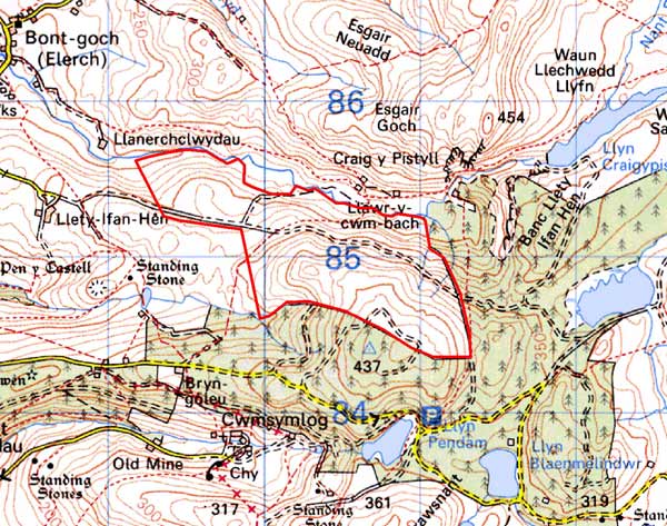
Base map reproduced from the OS map with the permission
of Ordnance Survey on behalf of The Controller of Her Majesty's Stationery
Office, © Crown Copyright 2001.
All rights reserved. Unauthorised reproduction infringes Crown Copyright
and may lead to prosecution or civil proceedings. Licence Number: GD272221