 |
|
Understanding a Changing Valley
|
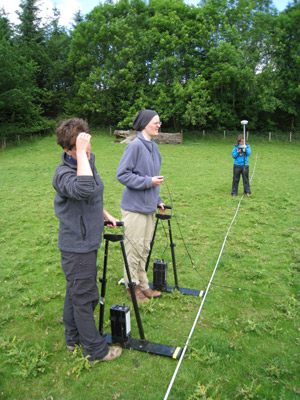
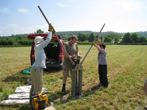
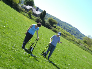
The river Tywi is one of the most dynamic rivers in Wales and investigation of the sediments stored in its valley floor has revealed a history of erosion, deposition and flooding dating back to the end of the last glaciation. This exploration into the study of floodplain sediments shows how climate and land cover change have affected river behaviour during past millennia. As the river Tywi moves across its floodplain sediments are deposited by the slow-flowing water. Shorter episodes of faster flow cause erosion, cutting into the valley bottom in a process known as “down-cutting”. This process has formed a staircase of terraces. The oldest of these probably formed more than 12000 years ago and the most recent in the last 200 years. The exact ages of the highest and oldest river terraces are unknown, but radiocarbon dating of organic material found in sediments within old river channels 1.5metres above the modern river bed indicates that the last major episode of river down-cutting occurred about 4700 and 3850 years ago during the late Neolithic to early Bronze Age. In the following three and a half millennia the river eroded and deposited sediments on its valley floor until shortly before the 18th century when it cut down to its present level. Historic maps from the 19th century and more recent aerial photographs allow river movement, bank erosion and gravel deposition over the past 150 years to be documented in some detail. Major changes in river behaviour influenced human activity and settlement patterns in the Tywi valley. Although some archaeological sites have been lost when the river moved across the valley some of the older terraces preserve remains of Bronze Age occupation.
Download full reports in PDF format - all files open in a new window. Appendix 1 - Geomorphological Maps Appendix 3 - River Channel Change Maps Appendix 4 - River Channel Change Overlay
|


