 |
|

Reviewing the Evidence
|
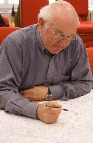
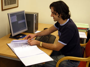
The Historic Environment Record (HER) held by the Dyfed Archaeological Trust includes historic maps, aerial photographs and excavation reports – which all contribute to build up a picture of the past in the Tywi valley. Working alongside professional archaeologists, volunteers have brought together information and put it into a readily accessible digital format. This includes the results from excavations conducted in advance of the 2007 gas pipeline, an assessment of parklands and the mapping of field patterns. Other repositories of historic documents which have been explored include the National Library of Wales and National Monuments Record at Aberystwyth, and the Carmarthenshire Records Office. With all the available evidence gathered, themed maps of the study area were created to
help understand the development of the valley over time. |