|

252 BRYN ARAU DUON 
GRID REFERENCE: SN 741484
AREA IN HECTARES: 698.10
Historic Background
An area of planted forest in the foothills of the Cambrian Mountains,
that once lay within Cwmwd Malláen of Cantref Mawr which remained an independent
Welsh lordship until 1284 and largely retained native systems of tenure
throughout the Medieval period (Rees n.d.). It is an upland area, which
is now almost entirely unenclosed, and such boundaries as do exist are
later 19th century. This appears to represent a continuation of its historic
land-use, the only recorded settlement being a Post-Medieval longhouse
site. However, Rees' map of 14th century south Wales (Rees 1932) shows
a trackway running across the area from northwest to southeast. The area,
moreover, represents a relict Bronze Age ritual landscape, importance
and time-depth being provided by such ritual and funerary features as
standing stones and barrows, which were intended to be prominent visual
features within the landscape. There is also a small former barium lead
mine on the southern edge. Mining was already being undertaken in this
area by the late 13th century, the crown taking the 'eleventh foot' of
the ore in taxation (Rees 1968), but had largely ceased by the mid 19th-century.
The area has no recent settlement and now lies entirely beneath late 20th-century
coniferous forest planted by the (then) Forestry Commission.

Base map reproduced from the OS map with the permission
of Ordnance Survey on behalf of The Controller of Her Majesty's Stationery
Office, © Crown Copyright 2001.
All rights reserved. Unauthorised reproduction infringes Crown Copyright
and may lead to prosecution or civil proceedings. Licence Number: GD272221
Description and essential historic landscape components
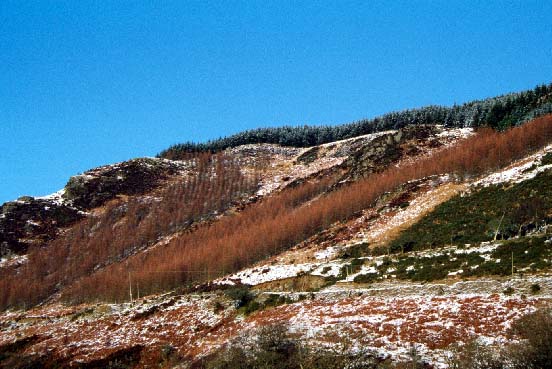
This area consists entirely of a conifer plantation. It lies on rounded
hills and steep-sided valleys between 250 m and 420 m. Prior to afforestation
the area was unenclosed moorland. The main landscape components are the
plantation and its associated roads and drives.
There is a relatively high density of recorded archaeology. Bronze Age ritual and landscape features comprise two standing stones, a stone row and a possible stone row, a stone circle, a group of three round barrows and a single round barrow, and two ring barrows. Post-Medieval sites comprise a longhouse and a barium lead mine.
There are no standing buildings.
This is a distinct area as it bordered by open moorland, or fields and farms in farms in valley bottoms.